The essentials
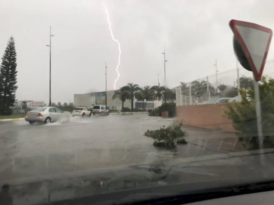
- Saturday 17th: yellow alert for rain and thunderstorms across Alicante province from 12.00 hours. Up to 30 litres per square metre in one hour, with hail and strong wind gusts.
- Sunday 18th: orange alert all day (from 00.00 to 23.59) on the northern coast of Alicante, which includes Marina Alta. Possible rainfall of 60 litres per square metre in one hour and 150 in twelve hours.
- Monday 19th: the second most severe day, with peak rainfall still around Cap de la Nau.
- Duration: the episode will continue at lower intensity until Wednesday 21st.
Marina Alta in focus
The State Meteorological Agency (Aemet) has placed the region among the areas that could receive the most rain. In its information bulletin, it highlights areas north of Cap de la Nau in Xàbia as those that could register the highest rainfall accumulations on Sunday, and warns that the area around that cape could continue to receive peak precipitation on Monday. Two consecutive days require attention on Marina Alta.
Aemet's scenarios contemplate between 150 and 250 litres per square metre in a few hours in some of the most affected areas, without ruling out higher amounts at specific points. Marina Alta, Safor and Ribera Baixa are among the regions expected to see accumulations of more than 200 litres. The Laboratory of Climatology at the University of Alicante also forecasts amounts of up to 250 litres per square metre in the province.
These figures should be read carefully: they are possible maximums at specific points, not a forecast for the entire region. Aemet itself acknowledges that it is not yet possible to determine which municipalities will receive the heaviest rainfall or how much rain will fall in each one, as it depends on the exact position of the Dana.
Why here
The situation is caused by the descent and isolation of a Dana—a depression isolated at high levels—over the northern peninsula. When combined with the entry of very humid air from the east and northeast, it favours storms along the Mediterranean coast. The relief of Marina Alta, with Montgó and Cap de la Nau, can concentrate rainfall in the region.
The risk is greater where soils are already saturated by previous rainfall. Just two weeks ago, in early October, the region experienced another orange alert episode that forced the suspension of classes in several municipalities.
Emergency services on alert
The Generalitat's Emergency Coordination Centre has issued a special warning to municipalities and agencies with emergency responsibilities for this episode. Councils in northern Alicante are reviewing their flood action plans, and cancellations of activities have already begun across the province.
If the situation worsens, municipalities can convene their emergency committees (CECOPAL) and decide on park closures, suspension of outdoor activities or, if the alert remains in place on Monday, suspension of classes. Marina Times will update information as measures from each municipality become known.
Recommendations
The usual Civil Protection recommendations for heavy rainfall are:
- Do not cross flooded streets, ravines or passages, whether on foot or in a vehicle. Only a small amount of flowing water is needed to sweep a car away.
- Avoid unnecessary journeys during orange alert hours and, if you must drive, check road conditions beforehand.
- Do not park in riverbeds, ravines or low-lying areas that may flood.
- Do not go down to basements or garages during the heaviest rainfall.
- Stay away from the coast: the alerts include coastal phenomena.
- In case of emergency, call 112.
Where to follow official information
- Aemet alerts (aemet.es), updated several times a day.
- Emergencies of the Generalitat (@GVA112 on social media).
- Official channels of each municipality, for local closures and suspensions.
This article updates the first alert about the possible Dana published on Wednesday.